Comprehensive System-Level SatCom Simulation
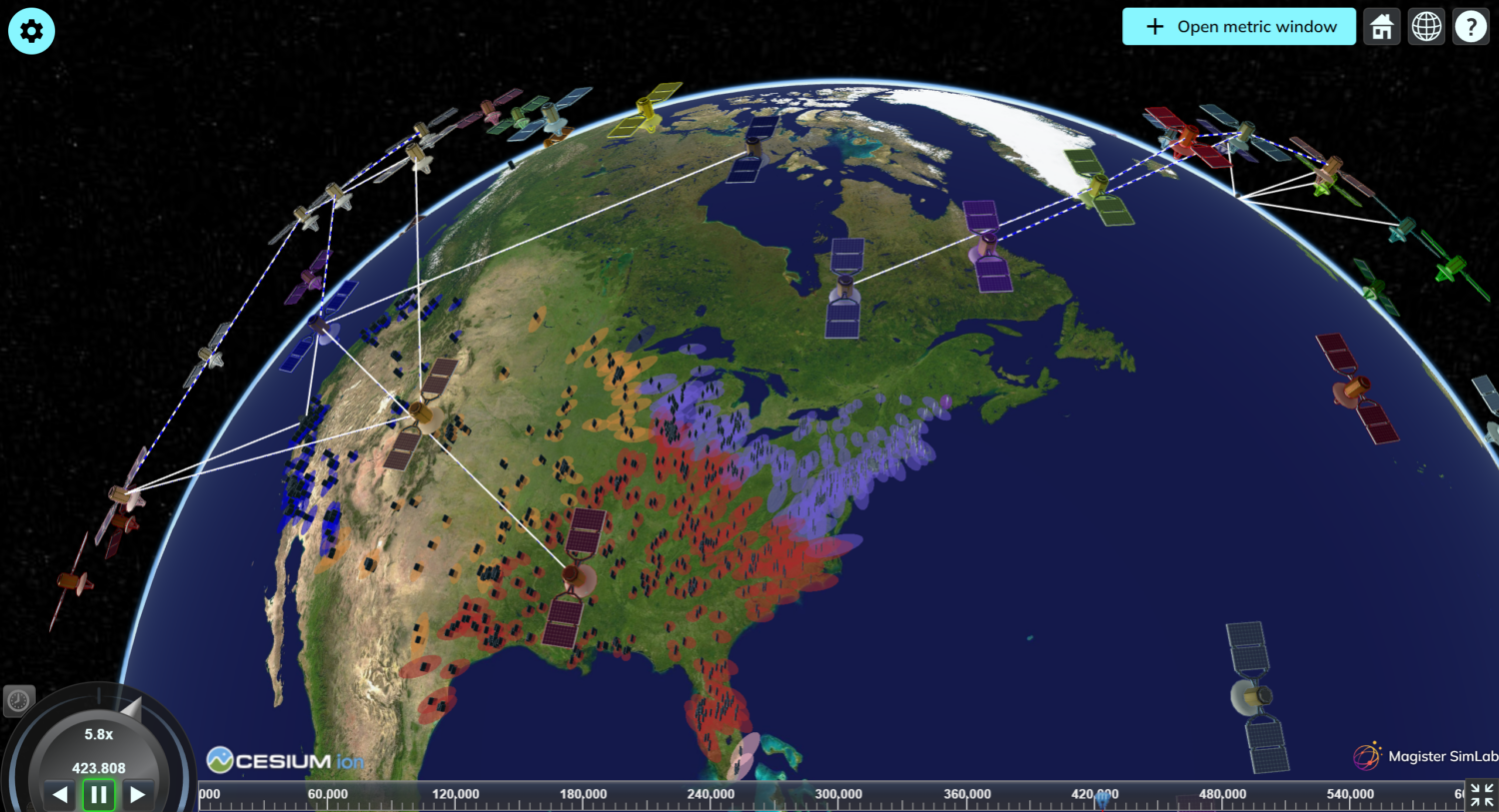
Simulate orbital motion, beam behavior, link budgets, interference, and traffic in a high-accuracy environment supporting small to mega-sized LEO, MEO & GEO systems.


C-DReAM is a modular system-level simulator for analyzing, optimizing, and designing satellite constellations, non-terrestrial networks (NTN), and 5G TN/NTN systems.
Designed for NGSO and GSO systems alike, C-DReAM provides high-accuracy modeling across link budgets, beam coverage, user traffic demand, routing, interference, coexistence, and more.
Trusted by SatCom innovators and operators, C-DReAM enables end-to-end exploration of constellation behavior, network performance, and next-generation TN/NTN architectures using high-fidelity simulation.
Simulate orbital motion, beam behavior, link budgets, interference, and traffic in a high-accuracy environment supporting small to mega-sized LEO, MEO & GEO systems.
Evaluate 5G NR-NTN performance with modules aligned with 3GPP specifications – including NR-NTN, IoT-NTN, and hybrid TN/NTN scenarios.
Customize RRM algorithms, payload models, air interfaces, and beam configurations to support a wide range of constellation deployments and research scenarios.
C‑DReAM was originally developed within a European Space Agency project in collaboration with Thales Alenia Space France, where its core architecture and RRM capabilities were established. Development continued in the DASCE project, evolving the simulator toward supporting 5G NTN direct-access use cases. Today, C-DReAM continues to advance as we expand its performance, modules, and accuracy for next-generation TN/NTN and SatCom systems.
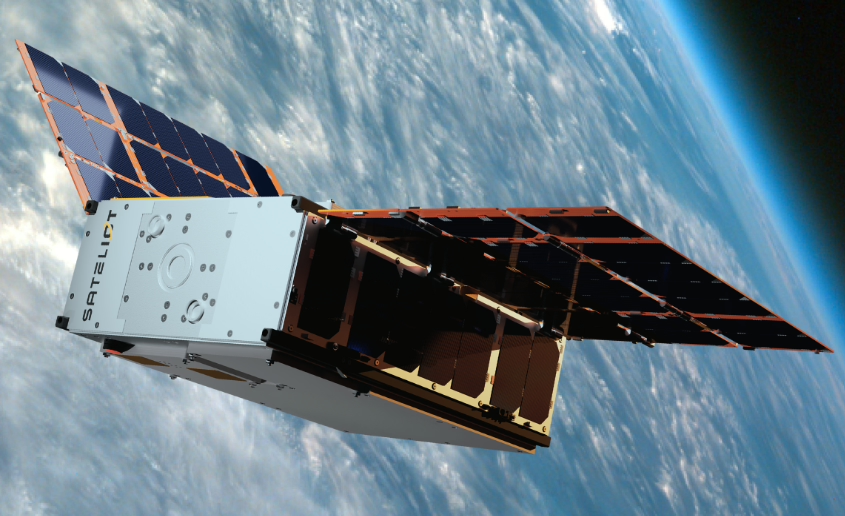
Sateliot, a leading satellite telecommunications 5G IoT operator, is using C-DReAM and Magister SimLab to develop and optimize its 5G NB-IoT LEO constellation, enhancing global IoT connectivity and enabling accurate modeling of critical real-world scenarios.
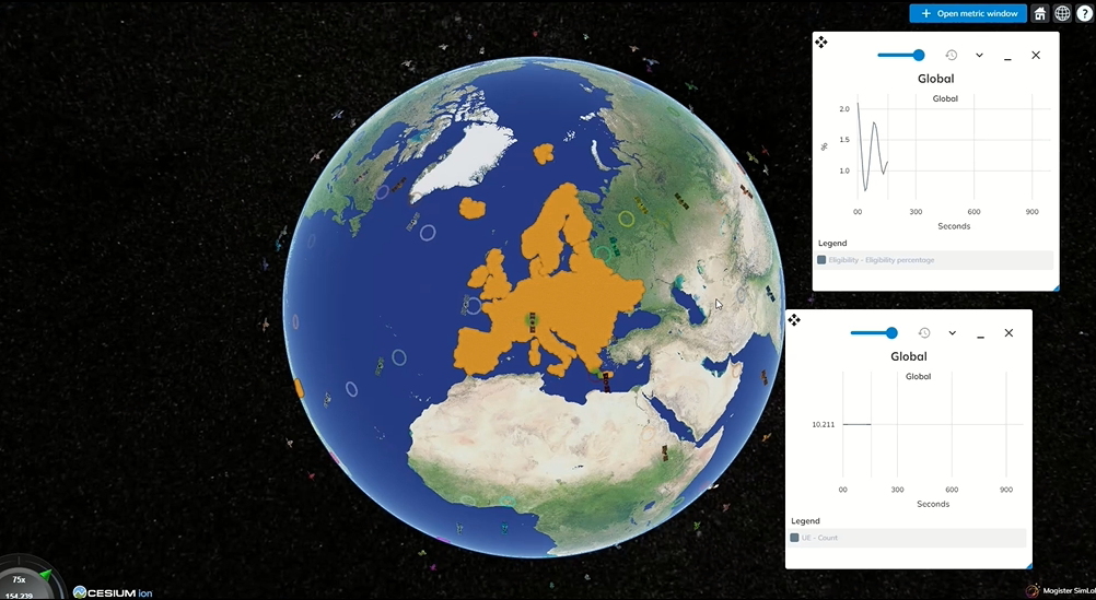
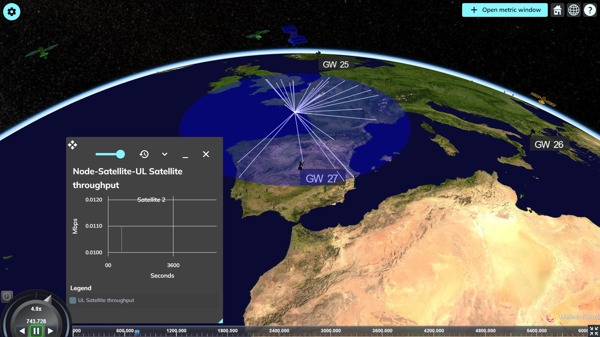
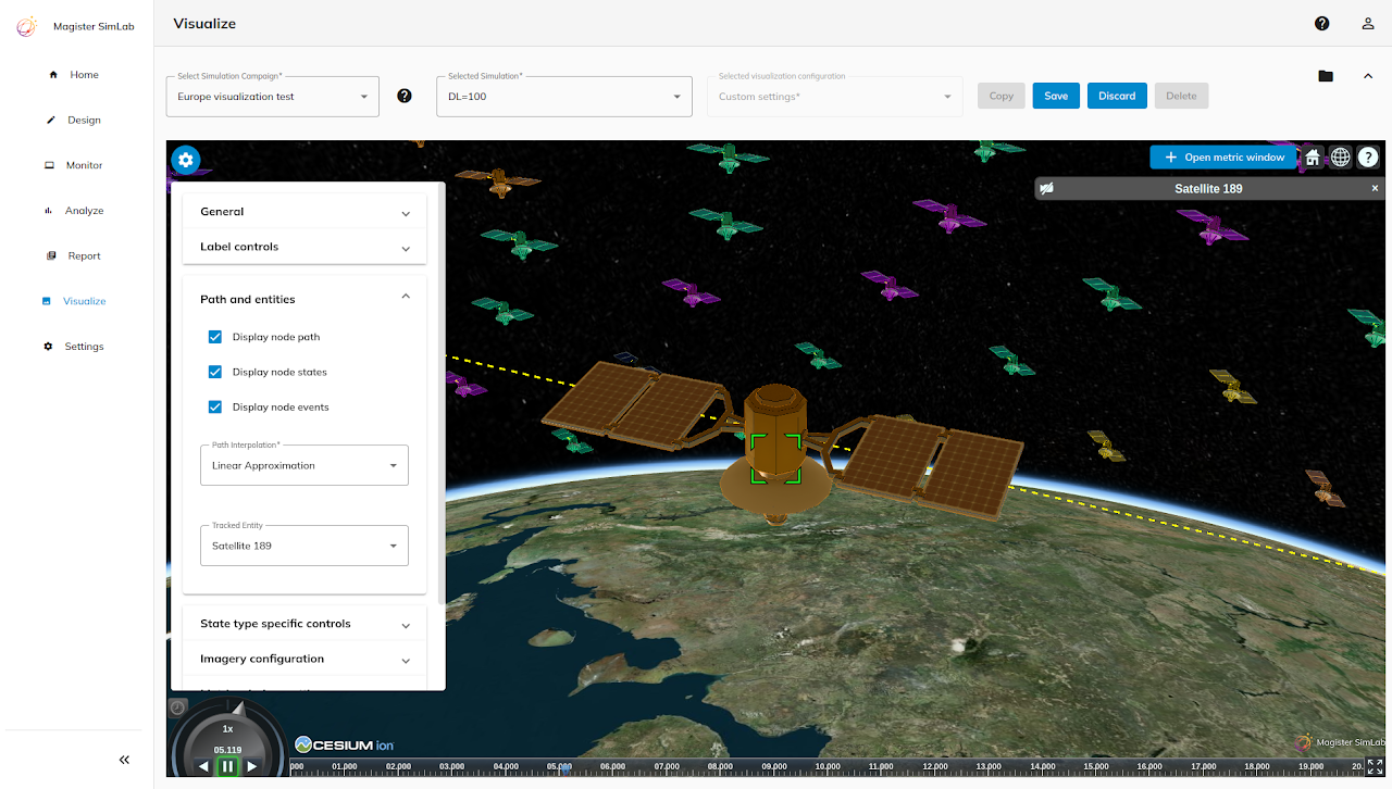
C-DReAM provides end-to-end visibility into satellite constellation behavior – combining beam patterns, link budgets, routing, and interference analysis into one simulation environment. It offers:
Detailed System Modeling
Simulates orbital movement, antenna patterns, propagation effects, and link performance with accuracy appropriate for system‑level studies.
Complete modularity
Choose the modules you need and combine them for full-system digital twins.
Alignment with 3GPP methodologies
Supports parameter mappings following 3GPP TR 38.821‑type assumptions, enabling NTN system‑level studies.
Proven in ESA and SatCom R&D projects
Validated through research & innovation work on NGSO, 5G NR-NTN, UAV SatCom, NB-IoT, and coexistence analysis.


Configurable frequency bands, including:
For example:
For example:
Book an online meeting about C-DReAM with our simulation experts. We’ll show you how the simulator works and discuss your potential usage scenarios.
Accelerating the future of wireless system development today with system-level digital twins and detailed simulations.

![]()
![]()
![]()
![]()
Sepänkatu 14 C 16 FIN-40720 Jyväskylä, Finland
Business ID: 1998796-8
VAT number: FI19987968
info(at)magister.fi